Sri Lanka leaps ahead in travel navigation with Sala ProSat, GPS device
July 11, 2010 12:35 pm
Sala Geo Information Systems Pvt Ltd (Sala GIS), a subsidiary of Sala Enterprises, last week announced the launch of Sala ProSat, a novel GPS Navigation System and available to the general public.
The Global Positioning System (GPS) is a
Managing Director of Sala GIS Chinthaka Wijewickrama said,
Our main intention is to take advantage of
Outlining some of the advantages and benefits,
It has over 100,000 important landmarks and points of interest such as Fuel Stations, ATMs, Banks, Hospitals, Hotels, Parks, Police Stations etc. It tells you your exact location and easily helps you find places you want to go to, without anyones assistance.
Were parallelly targeting the massive boom is expected in
the tourism sector. Considering the fact
that most foreign tourists already use GPS systems around the world, this will
be a boon to the thousands of tourists visiting
Sala ProSats maps are all prepared according to
The tools ability to calculate the exact time of arrival at the stipulated destination and the distance to it is a great advantage to those who engaged in extensive travelling, such as drivers, tourists etc.
Furthermore when users need to go to multiple places on a single route, the GPS Navigation System will instantly calculate the optimal route, covering all the points to the destination. This system is able to provide useful and comprehensive trip data, such as present speed, the average speed of the overall trip, idling time, movement direction, altitude above the sea level and many more parameters.
With the launch of this revolutionary satellite-based
navigation system, Im proud to say that
General Information about GPS: GPS has become a widely used aid to navigation worldwide, and a useful tool for map making, land surveying, commerce, scientific uses, tracking and surveillance, and hobbies such as geo cacheing and way marking. A precise time reference is used in many applications including the scientific study of earthquakes and as a time synchronization source for cellular network protocols.
GPS has become a mainstay of transportation systems worldwide, providing navigation for aviation, ground, and maritime operations. Disaster relief and emergency services depend upon GPS for location and timing capabilities in their life-saving missions.
Everyday activities such as banking, mobile phone operations and even the control of power grids, are facilitated by the accurate timing provided by GPS. Farmers, surveyors, geologists and countless others perform their work more efficiently, safely, economically, and accurately using the free and open GPS signals.
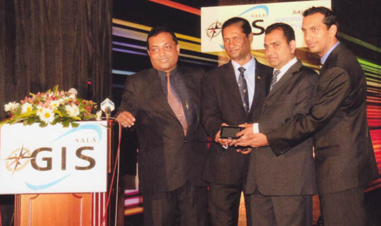
Photo caption: Managing Director of Sala Geo Information Systems Chinthaka Wijewickrama (extreme left) together with the Board of Directors Prasanna Suriapperuma, D.L.R. Shyamal and Aruna Seneviratne with the revolutionary Sala Pro Sat device.