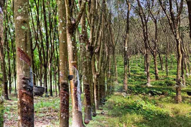


The Rubber Development Department and the Survey Department of Sri Lanka have jointly initiated a rubber land mapping program utilizing innovative Geographic Information System (GIS) technology.
This initiative aims to comply with the European Union’s new regulations designed to prevent global deforestation and restrict the import and export of deforestation-linked products. Under these regulations, exporters of rubber products and related raw materials to EU member countries are required to accurately map areas under cultivation to ensure that rubber supply chains do not contribute to deforestation.
Accordingly, the Rubber Development Department and the Survey Department have commenced implementing a comprehensive rubber land mapping program using GIS technology.
The Ministry of Plantations and Community Infrastructure stated that, under this program, it is expected to collect the geographical coordinates of all small-scale rubber lands by 2025.
Following the mapping activities, the Rubber Development Department will issue a QR code to rubber farmers free of charge. Farmers will be required to provide the information contained in this QR code to traders when selling rubber products.
The Department further noted that when officers from the Survey Department and the Rubber Development Department visit estates for field surveys, the participation of small estate owners is essential.
Estate owners are requested to present the rubber planting license issued by the Rubber Development Department, land deeds or other legal ownership documents, and the land plan to facilitate accurate land identification.