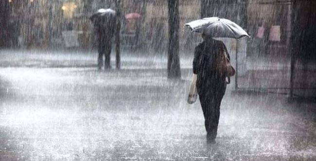


Showers or thundershowers will occur at several places in Central, Sabaragamuwa, Uva, Eastern and North-central provinces during the evening or night, the Department of Meteorology stated.
Several spells of light showers will occur in Western and North-western provinces and in Galle and Matara districts.
The general public is kindly requested to take adequate precautions to minimize damages caused by temporary localized strong winds and lightning during thundershowers.
SEA AREAS
The Very Severe Cyclonic Storm ‘TAUKTAE” over the east-central Arabian sea, lay centered at 11.30 p.m. of 16th May, near latitude 17.5°N and longitude 71.9°E. It is very likely to intensify further during the next 12 hours. The system is likely to move nearly north-northwestwards and cross Gujarat coast India during 18th May.
Naval and fishing communities are advised not to venture into the above mention sea areas.
Condition of Rain:
Showers will occur at several places in the sea areas extending from Kankesanturai to Galle via Mannar and Colombo. Showers or thundershowers may occur at a few places in the other sea areas around the island during the evening or night.
Winds:
Winds will be westerly to south-westerly in the sea areas around the island. Wind speed will be 30-40 kmph in the sea area extending from Kankesanturai to Puttalam via Mannar. Wind speed will be 20-40 kmph in the other sea areas around the island.
Wind speed can be increased up to 50-55 kmph in the sea area extending from Kankesanturai to Puttalam via Mannar.
State of Sea:
The sea areas extending from Kankesanturai to Hambantota via Mannar, Puttalam, Colombo, and Galle will be fairly rough. The other sea areas can be moderate.