

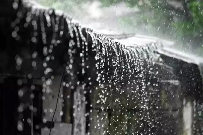


The low-pressure area located around Sri Lanka is moving away from the island, however, atmospheric conditions are still favourable for the formation of evening thundershowers over the island, the Department of Meteorology said today in its weather forecast.
Showers or thundershowers will occur at several places over most parts of the island during the evening or night. Showers or thundershowers may occur in the Western, Southern and Northern provinces during the morning too.
Heavy showers above 100 mm can be expected at some places in the Western, Sabaragamuwa, North-western, Central and North-central provinces and in Galle and Matara districts.
The general public is urged to take adequate precautions to minimize damages caused by temporary localized strong winds and lightning during thundershowers.
Sea areas:
Showers or thundershowers will occur at times in the sea areas extending from Puttalam to Pottuvil via Colombo, Galle and Hambantota. Showers or thundershowers will occur at several places in the other sea areas around the island.
Winds will be south-westerly in the sea areas extending from Puttalam to Pottuvil via Colombo, Galle and Hambantota and winds will be south-westerly to south-easterly in other sea areas around the island. The wind speed will be (20-30) kmph in the sea areas around the island.
Wind speed can increase up to (50-55) kmph at times in the sea areas extending from Puttalam to Pottuvil via Colombo, Galle and Hambantota.
The sea areas extending from Puttalam to Pottuvil via Colombo, Galle and Hambantota will be rough at times.
Naval and fishing communities are requested to be vigilant in this regard.
Temporarily strong gusty winds and very rough seas can be expected during thundershowers.