


The Department of Meteorology says the depression over south-west Bay of Bengal has intensified into a deep depression and lay centred at 11.30 p.m. on yesterday (March 04), near (10.3N, 82.6E), about 220 km northeast of Trincomalee coast.
It is very likely to move north-westwards along and off north-east coast of Sri Lanka towards north Tamil Nadu coast during next 36 hours.
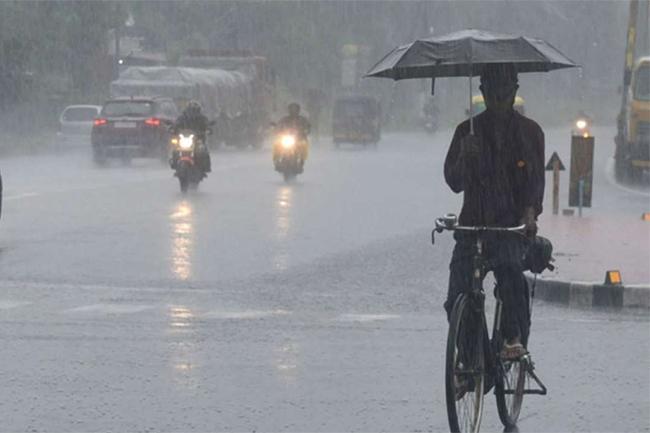
Showers will occur at times in Northern and North-Central provinces and in Trincomalee district.
Showers or thundershowers will occur at several places in Uva province and in Ratnapura, Hambantota and Nuwara-Eliya districts during the evening or night.
A few showers may occur in Hambantota and Ampara districts during the morning too.
Wind speed can increase up to 40-50 kmph at times in Northern Province and in Trincomalee district.
Sea areas:
As the depression over south-west Bay of Bengal has intensified in to a deep depression and is very likely to move north-westwards along and off north-east coast of Sri Lanka towards north Tamil Nadu coast during next 36 hours, the naval and fishing communities are advised not to venture to the sea areas off the coast extending from Mannar to Trincomalee via Kankesanturai.
Showers or thundershowers will occur at times in the sea areas off the coast extending from Kankesanturai to Hambantota via Trincomalee and Pottuvil.
Winds will be north-easterly and speed will be 25-35 kmph. The wind speed can increase up to (50-55) kmph at times over the sea areas off the coast extending from Mannar to Trincomalee via Kankesanturai. And wind speed can increase up to 40-45 kmph in the other sea areas around the island.
The sea areas off the coast extending from Mannar to Trincomalee via Kankesanturai will be rough and the sea areas around the island will be rough at times.