Parts of the island to receive heavy rains above 100 mm today
May 15, 2022 07:26 am
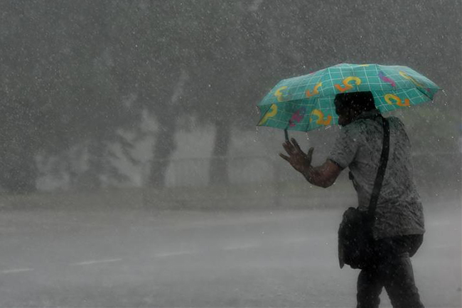
The prevailing showery condition over south-western part (Western, Sabaragamuwa and Central provinces and in Galle and Matara districts) of the island is expected to continue further, the Department of Meteorology says.
Showers or thundershowers will occur at times in Western, Sabaragamuwa, Central and North-Western provinces and in Galle and Matara districts.
Heavy showers of about 100 mm can occur at some places in Sabaragamuwa province and in Kandy and Nuwara-Eliya districts.
Meanwhile, fairly heavy showers of about 75 mm can occur at some places in Western province and in Galle and Matara districts too.
Several spells of showers will occur in Northern Province and in Anuradhapura and Hambantota districts.
Showers or thundershowers will occur at a few places in Uva and Eastern provinces during the evening or night.
Strong winds 40-50 kmph can be expected at times over the western slope of the central hills, Northern, North-Central and North-Western provinces and in Hambantota District.
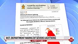
The general public is advised to take adequate precautions to minimize damages caused by temporary localized strong winds and lightning during thundershowers.
Sea areas:
Wind speed can be increased up to (65-70) kmph in the sea area extending from Kankesanturai to Pottuvil via Puttalam, Galle and Hambantota. There is also a possibility of swell waves (about 2.0 - 2.5 m) in these sea areas.
Accordingly, it is advised not to venture in fishing and naval activities in these sea areas within the next 24 hours.
Showers or thundershowers will occur at times in the sea areas off the coast extending from Puttalam to Hambantota via Colombo and Galle. Showers or thundershowers will occur at a few places in the other sea areas around the island during the evening or night.
Winds will be south-westerly and wind speed will be 30-40 kmph. Wind speed can be increased up to 65-70 kmph in the sea area extending from Kankesanturai to Pottuvil via Puttalam, Galle and Hambantota. Wind speed can increase up to 50-60 kmph at times in the sea areas off the coast extending from Kankesanturai to Trincomalee.
The sea area extending from Kankesanturai to Pottuvil via Puttalam, Galle and Hambantota will be rough. These sea areas will be very rough at times.
The sea areas off the coast extending from Kankesanturai to Trincomalee will be rough at times.
There is a possibility that nearshore sea areas off the coast extending from Kankesanturai to Pottuvil via Puttalam, Galle and Hambantota, may experience swell waves, having 2.0 - 2.5 m in height (This is not for the land area).
Temporarily strong gusty winds and very rough seas can be expected during thundershowers.