


The low-pressure area in the vicinity of the island is likely to move northwestward and gradually move towards the Tamil Nadu area near the northern coast of Sri Lanka.
Accordingly, rainy conditions over Northern, North-Central and North-western provinces and Trincomalee district will expect to continue further.
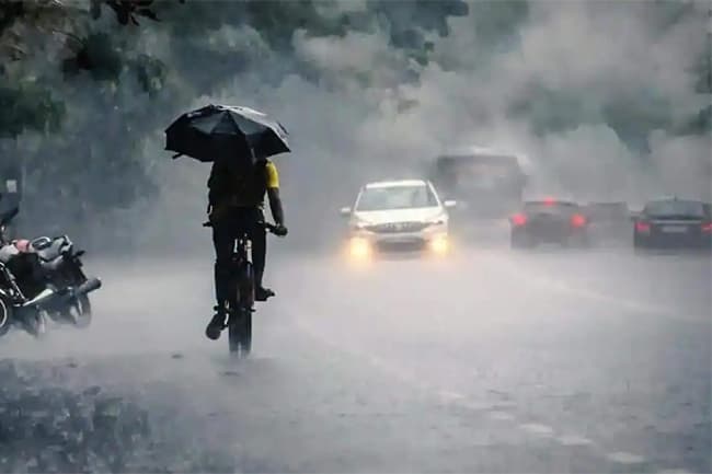
Showers or thundershowers will occur at times in Northern, North-Central and North-western provinces and in Trincomalee district. Heavy showers above 100 mm can be expected in some places.
Showers or thundershowers will take place elsewhere during the afternoon or night. Heavy showers above 50 mm can be expected in some places.
Meanwhile, fairly strong winds of about 40-50 kmph can be expected at times in the Northern, North Central and North-western provinces.
The general public is advised to take adequate precautions to minimize damages caused by temporary localized strong winds and lightning during thundershowers.
Sea areas:
The low-pressure area in the vicinity of the island is likely to move northwestward and gradually move towards the Tamil Nadu area near the northern coast of Sri Lanka.
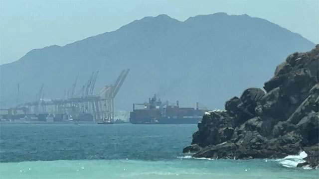
Naval and fishing communities are advised not to venture into the deep and shallow sea areas off the coast extending from Trincomalee to Puttalam via Kankesanturai and Mannar.
Showers or thundershowers will occur at times in the sea areas off the coast extending from Trincomalee to Puttalam via Kankesanturai and Mannar. Showers or thundershowers will occur other sea areas around the island in the afternoon or at night.
Winds will be North-easterly or variable in direction. The wind speed will be 20-30 kmph and it can increase up to 50-60 kmph at times in the sea areas off the coast extending from Trincomalee to Puttalam via Kankesanturai and Mannar.
The sea areas off the coast extending from Trincomalee to Puttalam via Kankesanturai and Mannar will be rough. The other sea areas around the island will be fairly rough at times.
There is a possibility of nearshore sea areas off the coast extending from Trincomalee to Mannar via Kankasanturai experiencing surges due to the effect of swell waves with a height of 2.0m - 2.5m.
Temporarily strong gusty winds and very rough seas can be expected during thundershowers.