Low-pressure area to intensify into depression and move towards Tamil Nadu
November 20, 2022 07:54 am
The Department of Meteorology says the low-pressure area in the southeast Bay of Bengal and neighborhood moved west-northwestwards to Central parts of south Bay of Bengal.
It is very likely to move West-northwestwards and gradually intensify into a depression during next 12 hours in Southwest Bay of Bengal and move west- northwestwards towards the coastal areas of Tamil Nadu-Puducherry.
Strong winds about 40-50 kmph can be expected at times over the Northern, North-Central and Eastern provinces.
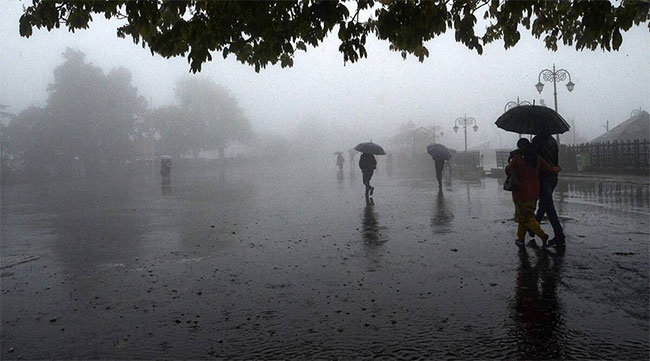
A few showers will occur in Northern, North-Central and Eastern provinces.
Mainly fair weather will prevail elsewhere over the country.
Sea Areas:
The low-pressure area in the southeast Bay of Bengal and neighborhood moved west-northwestwards to Central parts of south Bay of Bengal. It is very likely to move West-northwestwards and gradually intensify into a depression during next 12 hours in Southwest Bay of Bengal and move west- northwestwards towards the coastal areas of Tamil Nadu-Puducherry.
Therefore, Naval and fishing communities are advised not to venture into the deep and shallow sea areas off the coast extending from Kankasanturai to Batticaloa via Trincomalee and Southwest Bay of Bengal sea area for next 24 hours.
Showers or thundershowers will occur at several places in the deep-sea areas off the coast extending from Kankasanturai to Batticaloa via Trincomalee.
Winds will be northerly and speed will be 25-35 kmph. Wind speed may increase up to 50-60 kmph at times in the sea areas off the coast extending from Kankasanturai to Pottuvil via Trincomalee and Batticaloa. Wind speed may increase up to 45 kmph at times in the other sea areas around the island.
The sea areas off the coast extending from Kankasanturai to Pottuvil via Trincomalee and Batticaloa will be rough at times. The other sea areas around the island will be fairly rough at times.
There is a possibility that near shore sea areas off the coast extending from Kankasanturai to Pottuvil via Trincomalee and Batticaloa may experience surges due to the effect of swell waves, having 2.0-3.0 m height.